
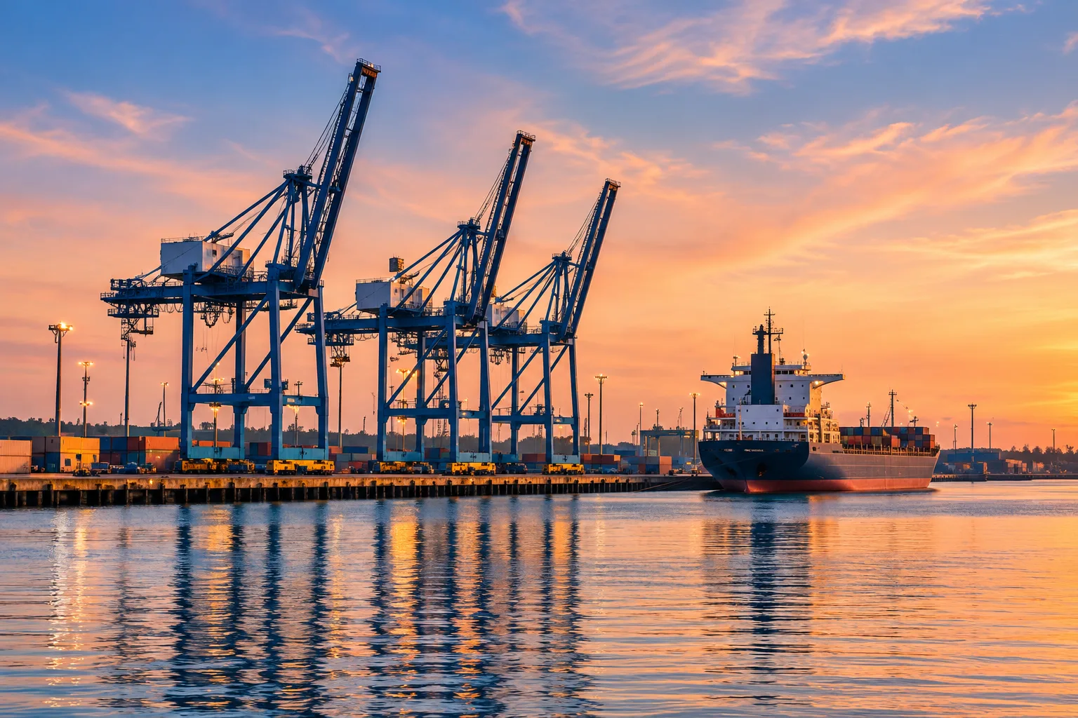
A large cargo ship moving through the Central Valley can seem out of place. Stockton is surrounded by neighborhoods, agricultural land, warehouses, and roads, rather than an open ocean coastline. Yet its location makes sense once you follow the water. The Stockton inland port connects the San Joaquin Valley to Pacific shipping through an engineered route across the Sacramento–San Joaquin Delta and San Francisco Bay.
The explanation involves three things working together: a useful river landing, demand for transportation, and sustained investment in the channel and waterfront. The port grew from those relationships. It remains one of the clearest ways to understand how water shaped the history of Stockton.
A port connected to the ocean
The Port of Stockton’s overview places it more than 70 nautical miles from the Pacific Ocean. That distance describes a water route, not a straight line across a map. Ships travel inland through connected bays and Delta waterways before reaching the port’s berths. The waterfront therefore belongs to a much larger transportation system than its immediate surroundings suggest.
Different descriptions measure different parts of that system. The U.S. Army Corps of Engineers identifies its Stockton channel maintenance project as extending 41 miles between Stockton and Antioch. That project length and the port’s distance from the ocean are not competing measurements; they have different endpoints.
Inland does not mean isolated
For shipping, the useful question is whether a vessel can reach a terminal that connects efficiently with its cargo’s next destination. An inland location can bring maritime transportation closer to farms, processors, manufacturers, and distribution facilities. The river route helps explain the location, while the working infrastructure explains why a substantial port could develop there.
Try reading a map in that order: begin at the ocean, trace the connected waterways, and then look outward from the terminal toward the valley. A map centered only on the coastline makes Stockton appear remote. A map centered on the complete cargo journey asks a more useful question: where can water transportation meet the roads, rails, workplaces, and storage that a shipment needs next?
River commerce came before the deepwater port

Stockton’s maritime history did not begin with the modern port’s opening. The Stockton Maritime Museum describes the nineteenth-century city as a connection between San Francisco Bay and the Mother Lode, carrying freight and passengers toward Gold Rush country. A landing became valuable because people and supplies still had to travel beyond it.
That earlier waterfront should not be imagined as today’s cargo terminal in miniature. Vessels, loading arrangements, and destinations changed over time. It is more useful to follow the continuing function: Stockton was a place where waterborne movement met an inland market. Later construction enlarged and reorganized that connection.
The 1933 opening changed the scale
According to the port’s historical timeline, Congress authorized funding for the Stockton Deep Water Ship Channel in 1927. The work involved deepening, widening, and straightening the route. The deepwater port opened in February 1933, with the first freighter’s arrival on February 2 associated with a lumber cargo.
The distinction matters: 1933 marks the opening of the modern deepwater port, not the beginning of shipping in Stockton. The project changed the scale of access and the facilities available to commercial vessels. A port is more than a dock; it also requires a usable approach, cargo-handling space, storage, and connections beyond the waterfront.
Wartime brought a new role
Rough and Ready Island becomes a supply base
World War II made the inland location valuable for military supplies. The port’s wartime history explains that the Navy selected Rough and Ready Island for an annex to its Oakland supply depot in 1944. Existing roads and rail connections helped recommend the site, along with its protected inland position. Construction began that August. The same connections that served commercial movement now supported the enormous task of supplying a war across the Pacific.
Why the location made economic sense
The port’s facilities description emphasizes warehouses, cargo handling, and rail access, including an on-dock loop railroad. These connections help explain the inland terminal’s practical value. A shipment’s journey includes transfers between vessels, storage areas, trains, and trucks. The usefulness of a berth depends partly on how those transfers are arranged.
Follow a cargo’s inland connections

Bulk cargo also gives the port a different visual character from the container terminals many people associate with international shipping. Dry materials, liquid products, and separately handled cargo call for different equipment and storage. A conveyor, tank, warehouse, or rail siding can therefore be as important to understanding the waterfront as the ship itself.
Stockton’s canning history offers another way to examine the region’s connections between production, processing, packaging, and transportation. It does not establish that every local product traveled through this port. Individual business records are needed to trace a particular company’s shipments.
Keeping the passage open
The channel is maintained infrastructure. Sediment management and bank protection are recurring parts of its history, rather than work completed once in 1933. A NOAA Fisheries consultation for the 2016–2025 maintenance program describes proposed annual dredging, designated sediment-placement areas, and coordination over work locations and timing.
That document is evidence of a particular maintenance program, not a current navigation notice. It also makes an important historical point: keeping ships moving requires decisions about the riverbed, the banks, and where removed material will go. The apparent simplicity of a ship passing along a channel rests on continuing work that is usually much less visible.
The proposed handling process also gives sediment a destination beyond the channel. The consultation describes dredged material carried into designated, diked placement areas, where solids settle and water is managed before returning to the waterway. Following that material connects the shipping route with land beside it. Maintenance therefore changes more than the space directly underneath a passing vessel.
A working port within a shared Delta
The same waterways that carry freight support habitats and neighboring communities. The port’s environmental information identifies air quality, water quality, wildlife, and project review as areas of responsibility. Those topics belong in the port’s story alongside cargo and construction. A stated program describes an effort; evaluating its results requires looking at monitoring, project documents, and community experience.
Future changes should be read with those connections in view: what moves through the port, what physical work supports that movement, and how surrounding places experience the consequences.
Stockton has an inland port because people repeatedly connected a favorable location to changing transportation needs. Geography offered the route, public works altered its capacity, and everyday labor made it function. Reading that history means following the whole journey: from the ocean through the Delta, across the dock, and onward into the lives and industries of the valley.